Ingram Family, Threlkeld Farm, Culpeper County

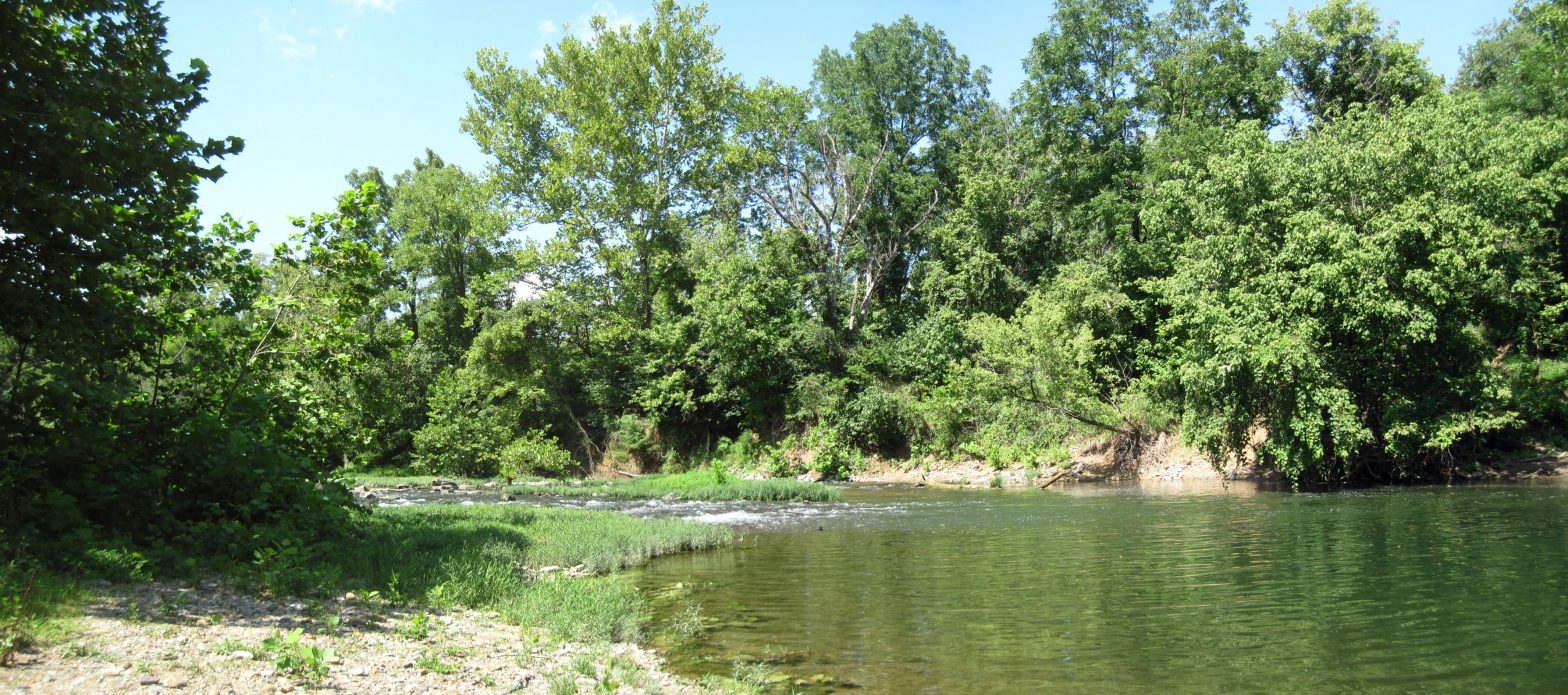
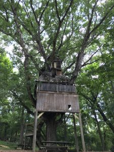
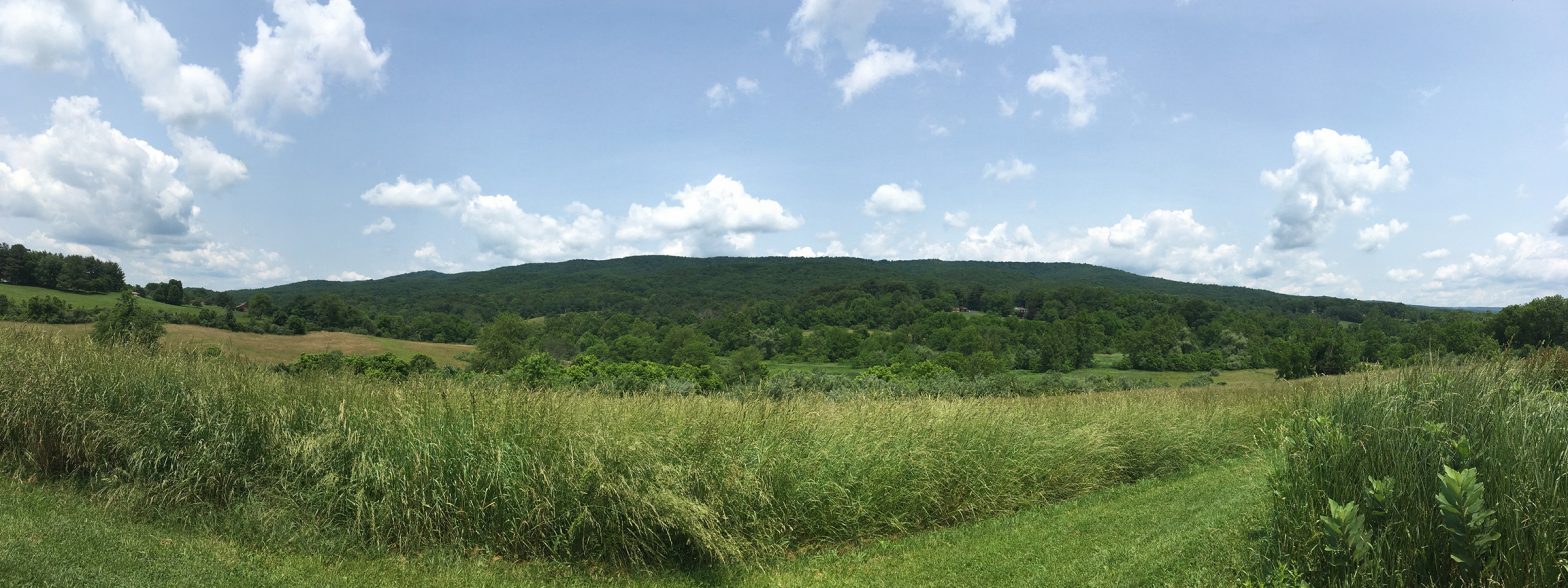
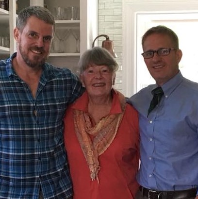
Terry, Boo, and Rush Ingram, who donated an easement on Boo’s family farm in 2003.

Growing up, Linda Yancey Ingram knew every inch of Threlkeld, her family farm since 1828. “Boo,” as she is known among family and friends, would follow along behind her father as he worked on their dairy.

“It’s a part of my soul,” she says now. “I look around and remember my daddy plowing with horses and mules, then with machinery. He liked to try new things, and he was a good farmer.”

Her son Terry inherited his grandfather’s skills and curiosity, although he admits he didn’t know it at first. “I had no intention of farming when I got out of college,” he says. “I was interested in the business world. But it didn’t take long for me to realize that farming is a business, and I got curious about what was viable on a farm this size.”

Terry took over management of Threlkeld from his mom in 2003—the same year that Boo, Terry, and brother Rush agreed to donate an easement on the 230-acre property to VOF. The decision “brought the family together,” Terry says. “We all had the same goal.”

Boo adds, “We had a lot of questions because an easement is a forever commitment. It is a family decision.  I consider it the most successful thing I’ve done. I was able to completely pay farm debt and save my love, Threlkeld Farm, as a farm forever.”

For Terry, knowing the farm would always be open land gave him more confidence in running the dairy. He replaced the old dairy barn with a new one, and was able to focus on a long-term goal, building the health of the soil. “I became passionate about grazing. I slowly developed mentors in the grazing world and learned what I could.”

During a visit to an American Farmland Trust farm in 2006, Terry was inspired by the organic farming practices he saw there and decided to try them at home. “I really didn’t have the mindset at first, but the more I worked at it and saw the results, I became a believer,” he says. He adds that once he started allowing the soil to rest through rotational grazing, “I saw a profound difference in soil health.” Organic matter on Threlkeld’s soils increased from two to eight percent over the course of seven years.

“More life in the soil means better grass and healthier cattle,” Terry explains.
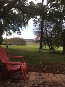
Terry spent seven years rebuilding the soils on the farm organically.

Allowing organic matter to build in the soil has other benefits, too, he continues. “It means the soil holds six inches of water an hour instead of one inch. That’s a big difference in how resilient the land can be when the weather changes.”

Additionally, each percent of organic matter per acre sequesters 250,000 pounds of carbon. “Multiply that by how many acres you’re grazing and it’s just phenomenal.”

Now Terry is sharing his knowledge as part of his job with the Organic Valley milk cooperative.  The move is a way to scale up. “I’m trying to have a bigger impact, and the job allows me to help other farmers by sharing my experiences.” Besides, he adds, “It felt good after almost 20 years of farming to be around people again.”

Meanwhile, Boo has been helping fellow landowners learn about conservation easements as essential tools for saving agricultural land. “I know it’s a tough decision, and I encourage people when I can,” she says. “I would love to see every piece of land from here to Brandy Station under easement.”
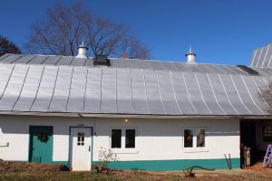
After Terry built a new dairy barn, Rush lovingly restored the old one, and it now hosts Airbnb guests for farm stays.

Boo is also a longstanding member of the Piedmont Environmental Council and has done volunteer work monitoring easements for VOF.

At Threlkeld, Terry’s hard work building the soil there continues to pay off. The Ingrams are currently leasing acreage to a young farmer who is growing organic hay on the property. They say he eventually plans to manage a new dairy herd there, using those rich soils to nourish more cows. “Healthier cows mean healthier people, too,” Terry says. “It’s an unbroken chain.”
Partnerships in Smyth County help protect water quality on the North Fork of the Holston

Partnerships in Smyth County help protect water quality on the North Fork of the Holston
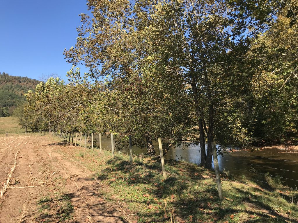
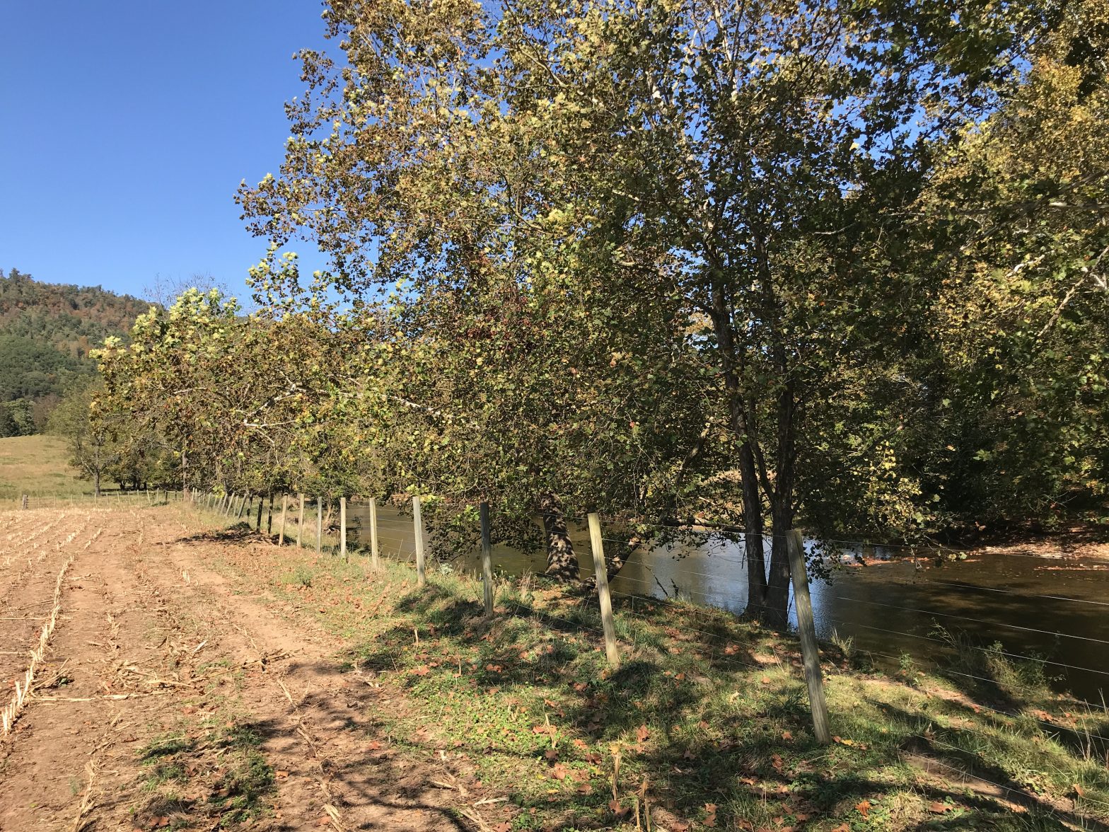
A grant from the state Best Management Practices Cost-Share Program enabled the Clarks to fence livestock out of the river.

The North Fork of the Holston River is a natural resources powerhouse. A premier bass fishery and a public water supply for residents of Virginia and Tennessee, it also is a popular destination for paddlers and provides habitat for several rare — and colorfully named — native aquatic species: the shiny pigtoe, the Tennessee pigtoe, the turquoise shiner, the tangerine darter, and the eastern hellbender.

The river has also had its challenges over the years. In 1924, a muck dam storing the toxic by-products of a chemical factory collapsed, poisoning the river and killing 19 people. Fish caught below Saltville still cannot be consumed because of mercury contamination. Also, dangerous levels of E. coli bacteria have been detected in parts of the river due to agricultural and urban runoff, making water treatment facilities work overtime and putting recreational users on alert.

That is why two recent easements in Smyth County are good news for everyone who benefits from this unique ecosystem. The easements limit development on more than 630 acres in the Holston River watershed and provide riparian buffers on over five miles of the North Fork.

The new protections are the result of a partnership between the Virginia Outdoors Foundation (VOF) and the Natural Resources Conservation Service (NRCS). Neal Kilgore, VOF’s easement manager in Southwest Virginia, and Hunter Musser, a district conservationist in Smyth County for NRCS, teamed up to advocate for the river to area landowners.

“When I saw how much river frontage these properties had, I knew we needed to make the pitch for livestock exclusion,” Kilgore states. “I called up Hunter and we went to talk to three different landowners about water quality. We outlined the options available to them to implement livestock exclusion practices through NRCS and the Evergreen Soil and Water Conservation District.”

“Hunter’s ability to relate to the landowners made a huge difference in the outcome,” Kilgore adds.

Musser says that communication is key. “Many landowners are used to clearing areas along the banks and giving the cattle access to the water. They’re concerned that leaving a buffer area would mean the overgrowth of invasive plants. We needed to let them know that we encourage some management of the buffers.”

The Lamies maintain a forested buffer on the North Fork of the Holston, separating their corn field from the river with a natural filter.

For the landowners, agreeing to the limitations of an easement meant taking a leap of faith.

“I wasn’t sure how much control we’d lose,” says Fada Lamie, who donated an easement with her husband, Charles, on their 150-acre farm in 2019. The farm is bisected by the North Fork of the Holston and contains over a mile of frontage. “Once we talked to Neal and got a clearer picture of what we needed to do, it was something we became comfortable with.”

About a mile and a half from the Lamies’ farm, another four miles of riverbanks curve through John and Kimberly Clark’s property. “We had heard about easements and had an interest in protecting the farm,” says John, whose 482-acre property has been in his family since 1904. “The cattle had always had access to the river, but we’ve been working closely with Evergreen to change that.” Through a grant from the state Best Management Practices Cost-Share Program, the Clarks have completed building an alternative watering system for their livestock and have fenced them out of the river.

In all, nearly 10 miles of the North Fork’s 43 miles in Smyth County now run through VOF-protected land. Thanks to outreach from Kilgore and Musser, protections on the Middle Fork of the Holston River are also increasing: Owners of a third property have nearly completed implementing livestock exclusion practices on 500 feet of frontage.

The three projects underscore how individual landowners can contribute to something bigger than their own properties when landscape-level strategies are considered, and when partner organizations work together.

“I’ve had the privilege of working with NRCS and the Evergreen Soil & Water Conservation District for over 20 years, and this is a real victory for water quality in the North Fork of the Holston,” Kilgore says. “The Clarks and the Lamies were also amazing partners. Even when the projects seemed to stall, they were patient enough to consider options and alternatives. Their commitment to the process and their patience is to be commended.”   

VOF protected nearly 2 acres every hour in 2019

VOF protected nearly 2 acres every hour in 2019
One of five new easements recorded in 2019 in Southampton County.

The Virginia Outdoors Foundation (VOF) protected 17,000 acres of farmland, forestland, parkland, and other open space across 40 localities in 2019—a rate of nearly two acres every hour. The conservation projects increase VOF’s portfolio of protected open space to roughly 860,000 acres, which is one of the largest portfolios of any land conservation organization in the nation.

Projects included 104 acres of tribal land for the Chickahominy Tribe in Charles City County, 18 acres on two historic African American cemeteries in Richmond and Hampton, 140 acres of parkland in Pulaski and Roanoke counties, and 40 acres of Chesapeake Bay access along the Severn River in Gloucester.

Southampton County led counties for the first time in VOF’s 53-year history, with 2,554 newly protected acres on five projects, several of which were partially funded by Ducks Unlimited, the Nature Conservancy, the Enviva Forest Conservation Fund, and the North American Wetlands Conservation Act. Much of the acreage protects old-growth cypress and waterfowl habitat along the Nottoway River.

Most of the projects were protected on private land using open-space easements, which are voluntary agreements between landowners and VOF that limit future development on the property while allowing it to continue to be used for farming, forestry, recreation, and other uses compatible with open space. Several projects were made possible by $1.6 million in grants from VOF’s Preservation Trust Fund and Forest CORE Fund.

Tuscarora Trail, Frederick County

Tuscarora Trail, Frederick County
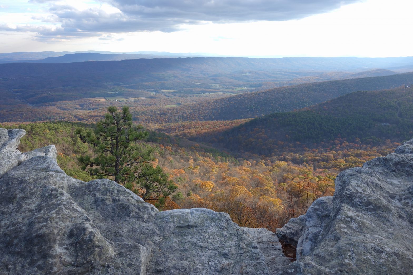
The Tuscarora provides hikers with stunning views of the Blue Ridge without the crowds of the AT. (Photo Credit, John Stacy)

The Appalachian Trail Conservancy estimates that about 3 million people hike a portion of the Appalachian Trail (AT) each year, a number that continues to grow. The more crowded the trail gets, the more bottlenecks of hikers on ridgelines, overflowing camping shelters, erosion of the land, and trash left behind.

A slight detour onto the Tuscarora Trail gives hikers a different experience, however. Originally conceived as a back-up plan when the AT’s route was threatened by development, the Tuscarora runs along the ridges of the Allegheny Mountains, starting at a juncture with the AT in Pennsylvania and winding through Maryland and West Virginia until it follows the state line with Virginia. From there, it curves through the George Washington and Jefferson National Forest and rejoins the AT in the North District of Shenandoah National Park.

This 250-mile long alternative is more rugged in parts, but easily accessible throughout, says John Stacy, the trails supervisor for the Potomac Appalachian Trail Club (PATC), which maintains the Tuscarora. Trailheads with reasonable parking are abundant, he says. “There are lots of places where you can park and do a day hike, along trails that extend 5-6 miles into the forest without crossing a road.”

While 99 percent of the AT is on public land, much of the Tuscarora passes over privately owned tracts. Access to hikers is only possible through the permission of the landowners. “There are families that have hosted portions of the trail since 1968,” Stacy says. “We want to work with them as good neighbors, responding to any questions or constraints they have.”

While most of these agreements are informal and thereby in danger whenever the property changes hands, some landowners who have decided to conserve their land in perpetuity with a conservation easement have also included a special provision in the easement deed that allows for public access on the part of their property that contains the trail.

The PATC itself owns two such tracts, bought from private landowners and then protected with a conservation easement held by VOF. A third segment of the Tuscarora protected by a VOF easement is owned by Susan Benson, who donated the development rights on her 158-acre property to VOF in 2016.

Benson allows hikers to park near her gate in order to access the trail, which skirts just along the edge of her property for about 1,400 feet. “It’s very accessible,” she says. “People can leave the car and go on three or four miles down the road that girds the mountain. There is a campsite just on the edge of my property they can use as well.”

More easements between PATC and willing landowners are in the works. “There is tremendous potential to connect segments of the trail and preserve them through easement agreements,” Stacy says. “There are 5 parcels just to the north of Dry Gap where we are working right now to finalize easement terms.” 

As a landowner who allows the public to use the trail on her land, Benson has no regrets. “There are lovely plants here, migratory songbirds, mushrooms. It’s a natural resource,” she says. “It makes me happy to see the place used.”

Recreational Equipment, Inc. (REI) has given PATC a grant to improve the trail with signage and better blazing. To find out more about hiking the trail or to help PATC by volunteering for trail work, go to https://www.hikethetuscarora.org/.

New online identity for 2020

The official URL for Virginia Outdoors Foundation web and email addresses will be vof.org starting January 1, 2020.

The new address replaces virginiaoutdoorsfoundation.org for the foundation’s website and vofonline.org for staff emails. Those addresses will continue to function for several months while partners and constituents update their address books.

If you discover a broken link on our website, please let us know using the webmaster contact form. If you try to send an email to a staff member using the vofonline.org domain and it bounces back, replace the URL with vof.org and try resending it. If you continue to have problems, please notify the webmaster.

Funding available for water-quality projects in Appomattox River watershed

Funding available for water-quality projects in Appomattox River watershed
A newly planted riparian buffer. Photo by Virginia NRCS.

The Virginia Outdoors Foundation (VOF) has announced up to $5,000 per project in funding for grants to enhance water quality in the Appomattox River watershed.

The grants are being made through VOF’s new Appomattox River Fund, which was established using mitigation funds through an agreement between VOF and the Virginia Department of Transportation. The fund’s purpose is to mitigate for the loss of riparian trees on a VOF easement in Amelia County resulting from a bridge replacement project.

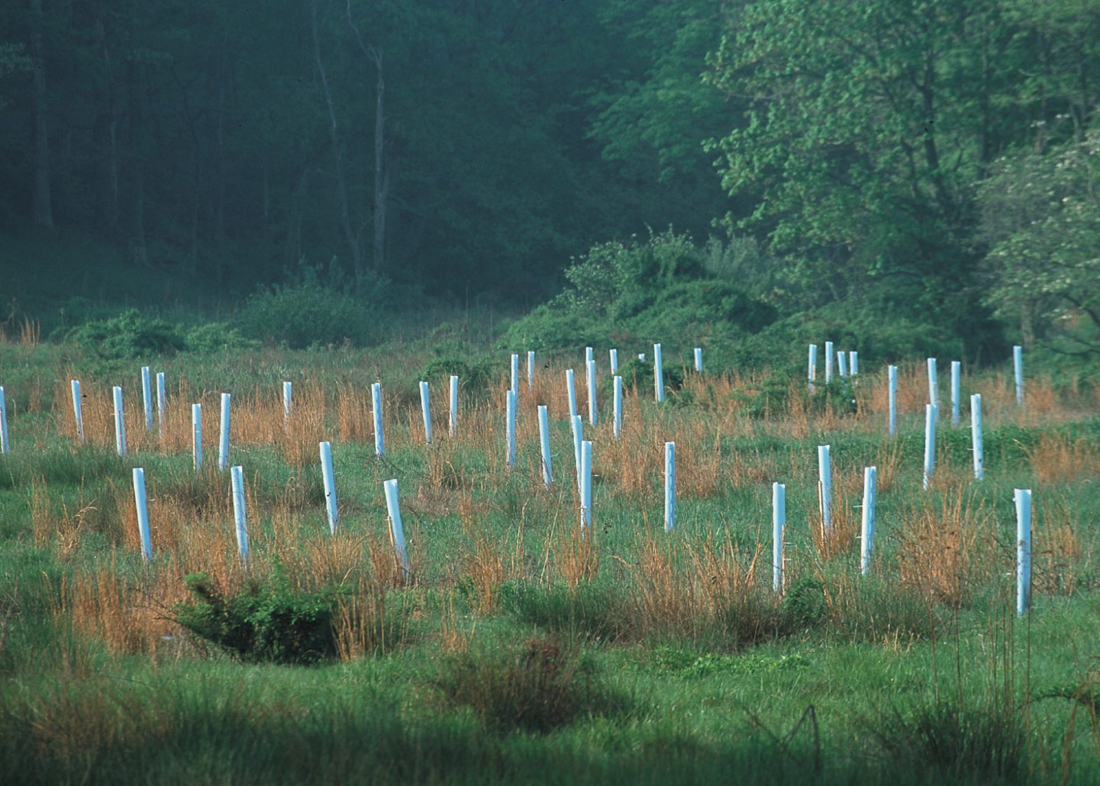
The grants are available to projects that directly and indirectly improve water quality in the watershed such as tree plantings, river clean-ups, and trail improvement to reduce erosion.

Approximately $10,000 is available for the grant round and will be awarded as small grants in the range of $500 to $5,000. Funds up to $1,000 will be disbursed up front for approved projects. Additional funds will be provided upon completion.

Eligible applicants include local governments, schools and universities, and 501(c)(3) tax-exempt organizations such as environmental groups, land trusts, Scout troops, and churches.

Projects must be located within the Appomattox River watershed on property that is accessible by the public.

Grant applications for the first round are due February 28, 2020, with project selection occurring in March 2020. Apply online at https://www.vof.org/terra/arf/.

Questions about grants from the Appomattox River Fund should be sent to Emily White, ewhite@vof.org.

NFWF awards $1 million for multi-state wetlands restoration partnership

NFWF awards $1 million for multi-state wetlands restoration partnership
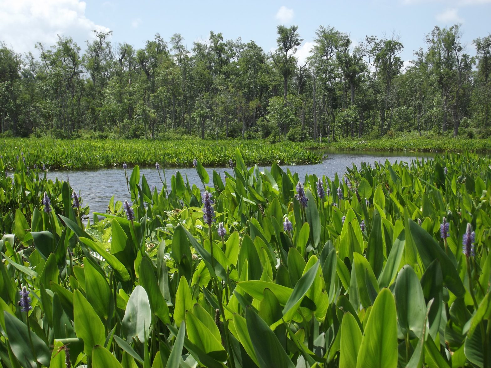
VOF-protected wetlands along the Mattaponi River in King William County.

A multi-state partnership between the Nature Conservancy, the Virginia Outdoors Foundation (VOF), the Maryland Department of Natural Resources, Ducks Unlimited, and others has received a $1 million grant from the National Fish and Wildlife Foundation (NFWF) to restore wetlands in the Chesapeake Bay watershed.

The Nature Conservancy applied for the grant, and the other partners will provide $2.5 million in matching funds.

According to the Conservancy, the funding will allow the partners to restore 445 acres of wetlands in Virginia, Maryland, Delaware, and Pennsylvania. It will also increase capacity for outreach and the enrollment of additional landowners in public and private wetland restoration programs, as well as bring increased resources to areas that have been identified as restoration priorities.

Wetlands help to filter nutrients and sediment from runoff that enters the Bay. They also provide habitat for migratory birds, waterfowl, and fish. The Chesapeake Bay Partnership has set a goal of restoring 85,000 acres across the Bay watershed by 2025, but only 11% of that goal has been reached since the Bay agreement was last signed in 2014.

“Making a real impact on Chesapeake Bay water quality is going to require bringing back some of the 1.5 million acres of wetlands that have been lost in the watershed, and we can’t get there without taking new approaches, said Amy Jacobs, acting conservation director for the Nature Conservancy in Maryland and DC. “The success we’ve seen with the restoration of the Pocomoke floodplains has taught us a lot of lessons that will help us expand this type of work to other areas in the watershed. We need to aim for ambitious public-private coalitions, engage more private landowners and use the best available science to tell us where restoration will provide the greatest benefits.”

In Virginia, the Conservancy will work collaboratively with the U.S. Fish and Wildlife Service, VOF, and other partners with the Rappahannock River Land Protection Partnership, which aims to engage private landowners along the Rappahannock River in conservation programming. Since the partnership began, VOF has protected more than 12,000 acres of open space in the Rappahannock River Valley National Wildlife Refuge through conservation easements.

Southampton easement protects bottomland forest along Nottoway River

Southampton easement protects bottomland forest along Nottoway River
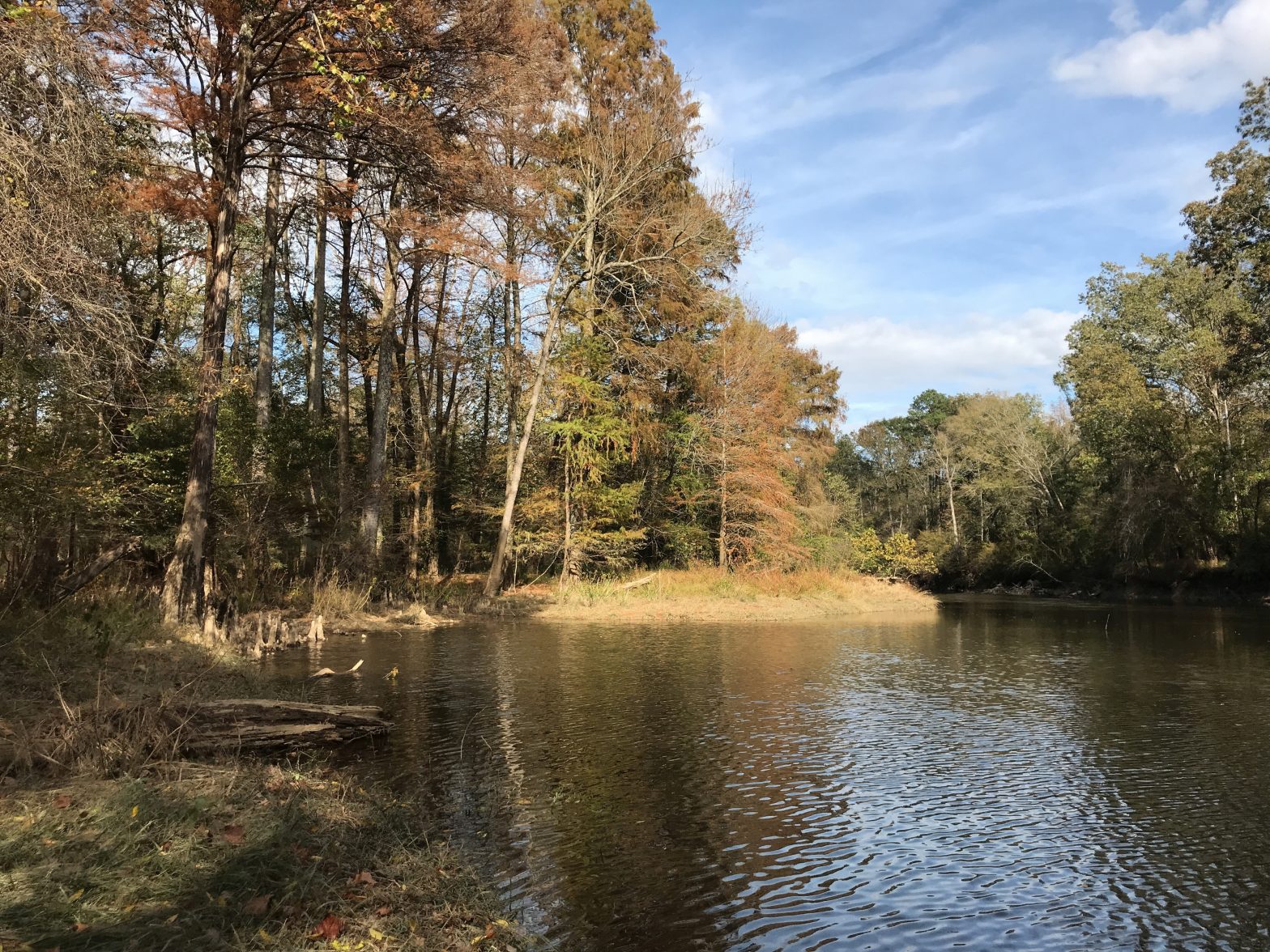
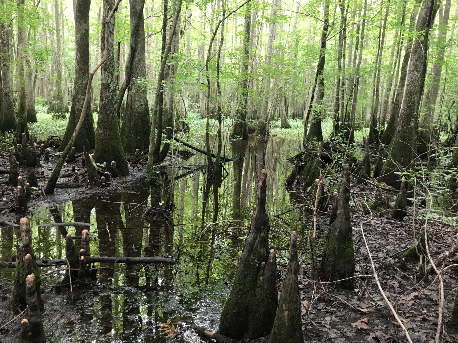
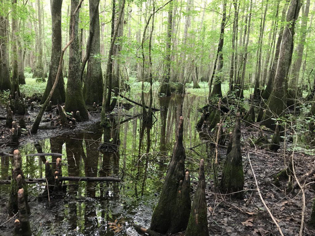
The easement prohibits timbering in about 55 acres of bottomland forest.

More than two miles of Nottoway River frontage in Southampton County will be permanently protected by a forested buffer, thanks to an easement held by the Virginia Outdoors Foundation and partially funded by the Enviva Forest Conservation Fund.

The easement, recorded in November on a 246-acre property owned by the Darden family, includes no-harvest areas on about 55 acres, which will provide water quality benefits, complement the growing corridor of protected tracts on the Nottoway, and protect a Coastal Plain bottomland forest. The site is located in a Virginia longleaf pine priority conservation area.

The lowland portion is home to multiple plant and animal species of concern including the rare crowfoot sedge (Carex crus-corvi) and the yellow lamp mussel (Lampsilis cariosa). Through the easement, this critical habitat will be preserved and continuously enhanced. The upland portions are to remain as working forest, providing sustainable wood products to a variety of markets.

“We are excited to be able to acquire and preserve this beautiful and important riparian forest that is home to so many plants and animals,” said Brett Glymph, VOF’s executive director. “The property will have both rare species conservation and sustainable forest management. We are grateful to Enviva for their contribution to our conservation mission.”

Hunter Darden, the property owner, said, “My wife, Kathy, and I are pleased to be a part of protecting this property for future generations to come, and to preserve the natural beauty of the Nottoway River.”

“This land will be preserved and managed indefinitely as forest, rather than being converted to agriculture or other non-forest uses,” said Carlton Owen, president and CEO of the U.S. Endowment for Forestry and Communities. “Forested watersheds play a vital role in storing and purifying water for downstream consumers and provide two-thirds of the drinking water in the U.S.”

VOF projects in Lexington, Lynchburg receive $381,134 from VLCF

VOF projects in Lexington, Lynchburg receive $381,134 from VLCF
The Maury River bounds the McThenia project in Lexington for more than a mile.

The Virginia Outdoors Foundation (VOF) has been awarded two grants to purchase open-space easements in Lexington and Lynchburg that will provide outdoor recreation and education opportunities for the communities. The two grants from the Virginia Land Conservation Foundation (VLCF) total $381,134 and were among 19 recipients of $5.89 million in VLCF funding announced last week by Governor Ralph Northam.

In Lexington, VOF will purchase an easement on 39 acres that will provide public access along a trail to the Maury River. The peninsula-shaped property owned by Andy McThenia has more than a mile of frontage on the river. There is a natural beach-like area at the foot of the trail, which lies across the river from the popular Chessie Trail that links Lexington and Buena Vista. This segment of the river is a designated blueway and provides habitat for several endangered mollusk species. The property contains limestone cliffs, sinkholes and barrens, and areas where a rare plant, three-flower melic grass (Melica nitens), has been found.

Tree house at the Camp Kum Ba Yah property in Lynchburg.

In Lynchburg, VOF will help Camp Kum-Ba-Yah Inc. in its purchase from Lynchburg Covenant Fellowship Inc. of the 44-acre urban forest by supplying funding for an open-space easement on that property. Dense commercial and residential development are imminent if Camp Kum-Ba-Yah fails to purchase the property, which is currently for sale. The VOF easement will help to save the urban hardwood forest, expand public access, and enhance the outdoor recreational and environmental programming that Camp Kum-Ba-Yah offers to thousands in central Virginia. Camp Kum-Ba-Yah has a rich civil rights history from the 1960s, when Lynchburg closed its public pools to African-American citizens and Camp Kum-Ba-Yah continued to welcome both black and white citizens to swim in its pools. Today, Camp Kum-Ba-Yah offers scholarships to nearly 50 percent of its campers and continues to provide an answer to question posed by the camp’s founder, “Where will the children play?” in the urbanizing area around them.

Stakeholders seek public input on Brush Mountain project in Blacksburg

Stakeholders seek public input on Brush Mountain project in Blacksburg
View of Brush Mountain from Heritage Park. Photo by New River Land Trust.

Preservation of a large chunk of forested mountainside that serves as the backdrop for the Town of Blacksburg and Virginia Tech’s campus is one step closer to reality.

A team of stakeholders including the Poverty Creek Trails Coalition and the U.S. Forest Service has released a draft Concept Plan and proposed trail alignments for two properties totaling 553 acres along the southeastern face of Brush Mountain. The properties were acquired earlier this year by the New River Land Trust with $1.2 million from the Virginia Outdoor Foundation’s Forest CORE Fund.

The Concept Plan and alignments can be found on the Town of Blacksburg’s website. The stakeholder group is seeking feedback from the public through Wednesday, December 11. They will use this feedback to develop a final draft to present to the Mayor and Town Council early next year.

The properties are slated to one day become part of the Town of Blacksburg’s park system, and present “an opportunity to develop and manage a non-motorized trail and park system to benefit the residents of Blacksburg, the wider region, and visitors to the area,” according to the Town’s website. Recreational plans include hiking, biking, horseback riding, and exploring. The community also intends to use the property for outdoor education.

Feedback on the Concept Plan and alignments may be sent via email to sustainability@blacksburg.gov.