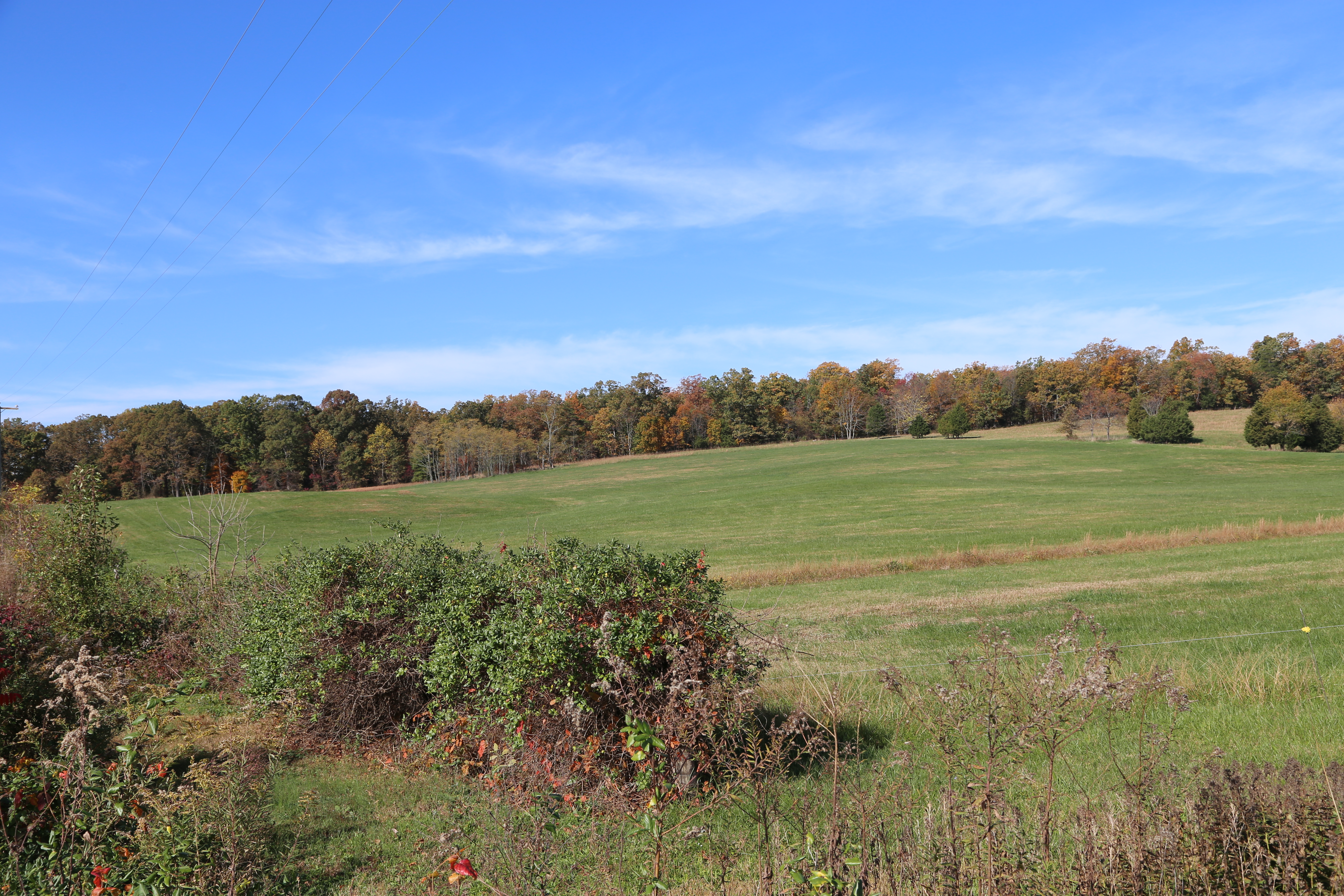
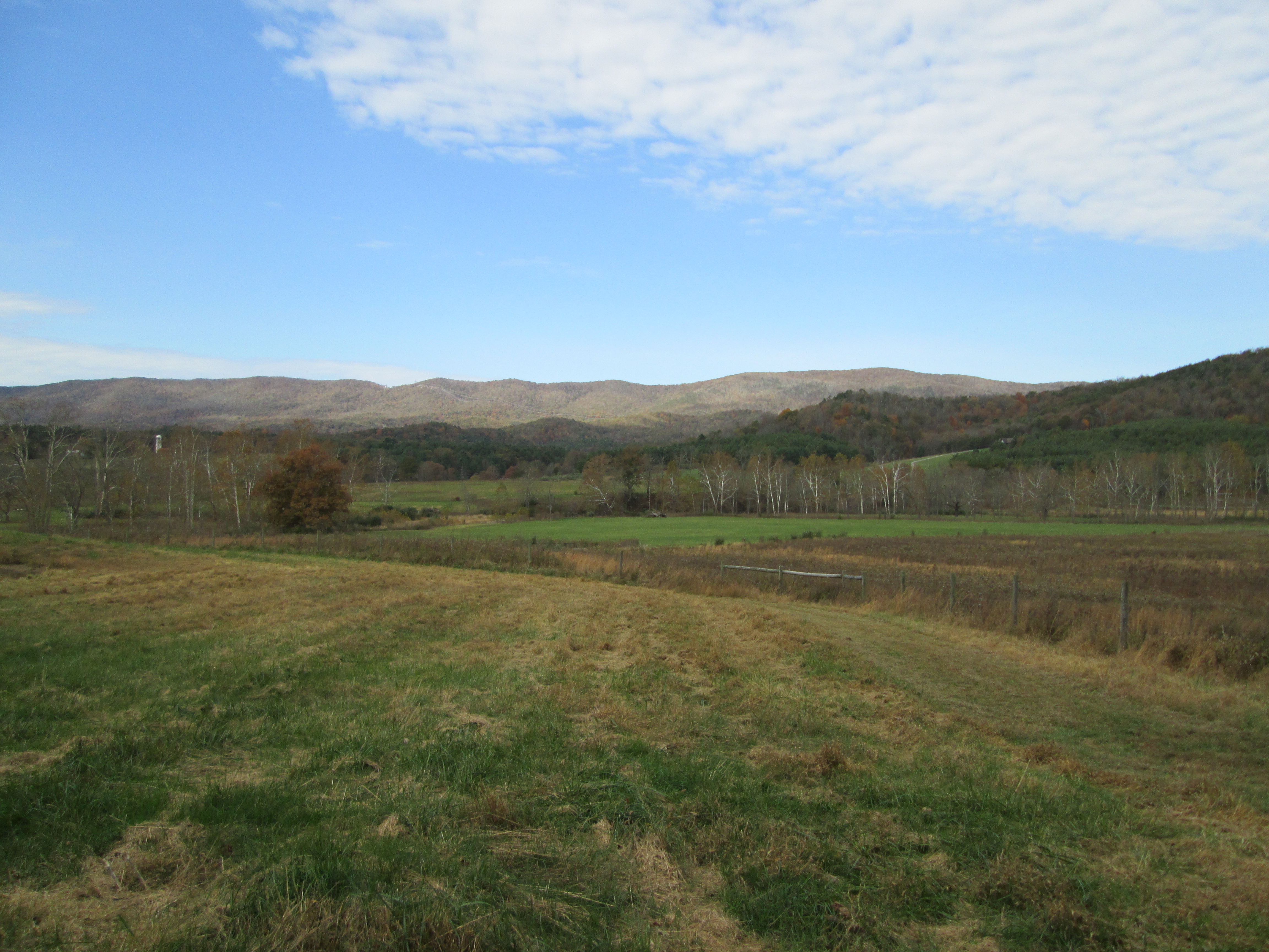
The southern edge of Hansbrough Ridge in Culpeper County has been known by some colorful names: Devil’s Jump, Wicked Bottom, and, in a short-lived attempt to rebrand the area for clean living, Temperance Hill. The names indicate a rich history, one that the Civil War Trust (CWT), the Virginia Department of Historic Resources (VDHR), and the Virginia Outdoors Foundation (VOF) are working to preserve by recording two conservation easements on 174 acres that include the ridge and its slopes, which are part of Brandy Station Battlefield.
While both easements are designed to protect the property permanently from development and will guarantee public access, one will be administered by VDHR and contains additional provisions protecting the historic aspects of the property.
“The Department of Historic Resources is pleased to partner with VOF in the ongoing stewardship of this site to preserve and interpret it for current and future Virginians and visitors to the state,” said VDHR director Julie V. Langan.
The VOF easement contains restrictions that prohibit division of the property, protecting its scenic and natural values and the historic setting and landscape of the battlefield.
The landscape around the battlefield site is a vital link to the past. After the Battle of Brandy Station in 1863, the influx of more than 120,000 Union soldiers dwarfed the population of Culpeper County (12,000 in the 1860 census, more than half of whom were slaves). Over the course of five months, thousands of these soldiers camped along the crest of the ridge, home not only to infantry and cavalry troops but also to soldiers’ visiting family members and large hospitals where doctors, nurses and volunteers treated sick and wounded men.
VDHR listed Hansbrough Ridge as a Virginia Historic Landmark in 2001, and in 2008 the site was named part of the Journey Through Hallowed Ground National Heritage Area, a federally designated 175-mile corridor that extends across Pennsylvania, West Virginia, Maryland and Virginia.
“As a Civil War site, Hansbrough Ridge is unique,” said Civil War Trust President James Lighthizer. “You just have walk up to the top of the ridge to see how special it is. There are commanding views of the landscape in all directions, which made it a crucial defensive position during the Civil War.”
Developers saw an opportunity to market those views in 2015, when they bought the property with the intention to develop a dozen residential lots. Reacting quickly, CWT negotiated a purchase of the tract before any development occurred, seeking support for the $900,000 acquisition from VOF and the American Battlefield Protection Program, with the addition of a noncash donation from the owners that put the purchase price within reach.
A conservation easement on the ridge adds to the preservation of numerous significant battlefield properties in Culpeper County, including Culpeper Crossing—12 acres of historically significant battlefield land offering recreational access to the Rappahannock River. VOF’s trustees approved funding for an easement on Culpeper Crossing at their February meeting.
Ultimately, the goal is to incorporate these properties within the Brandy Station and Cedar Mountain battlefields into a state park with educational and recreational opportunities. The views from Hansbrough Ridge will once again provide perspective. “From the top of the ridge, people will be able to read about the events of that period and survey the landscape,” Lighthizer says. “It will be an amazing way to see the history of this place.”
