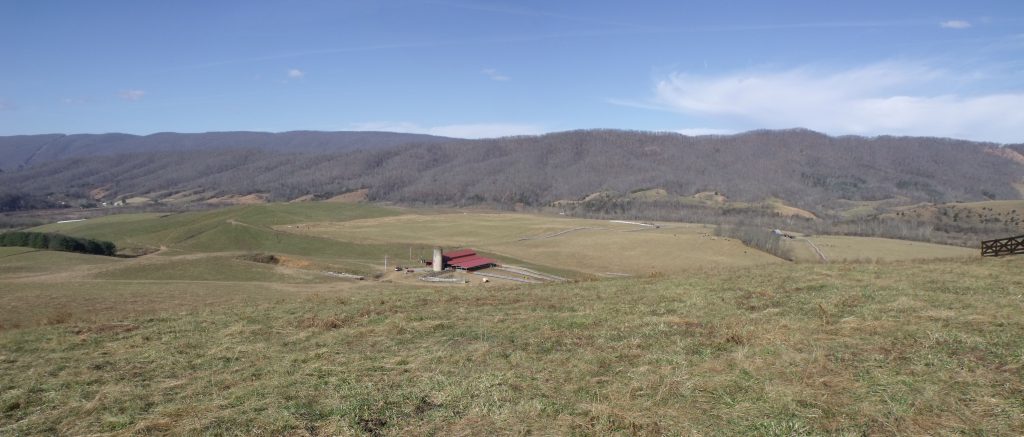
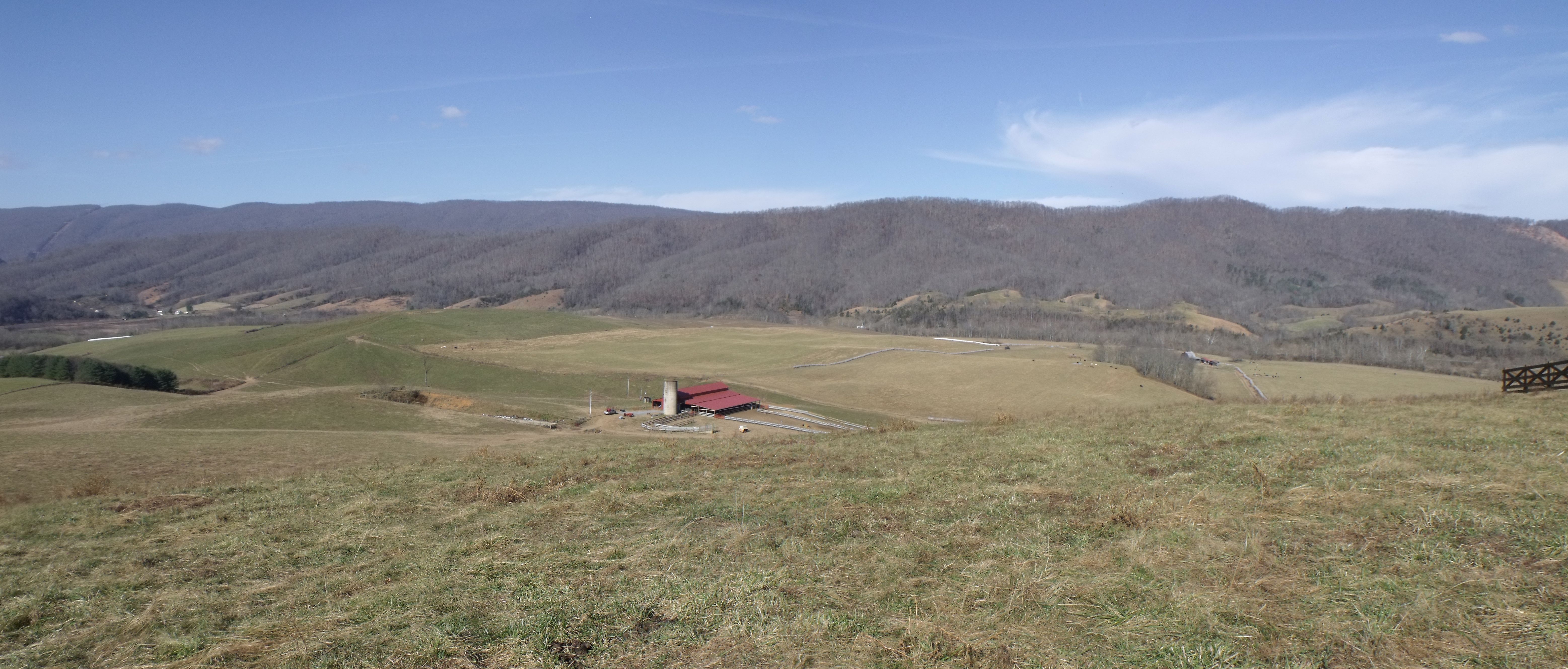
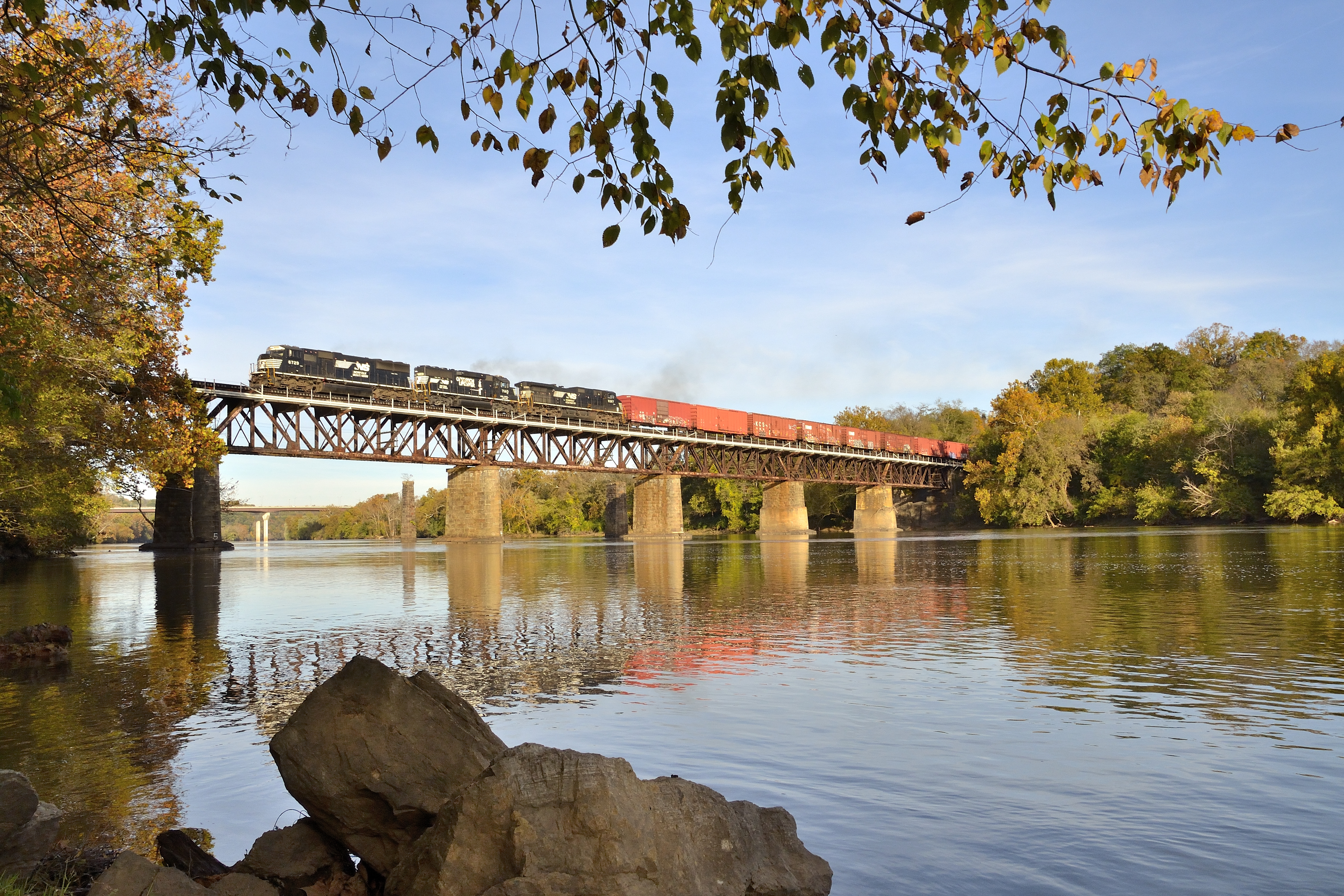
Waddle Farm, Smyth County

Waddle Farm, Smyth County

Several years ago, a neighbor asked Shelley Waddle if she and her husband, Jeff, had ever considered protecting their 1,158-acre Saltville farm from development with a conservation easement.

She was skeptical at first. “We didn’t understand the process, the terminology,” says Shelley, a farmer and schoolteacher who was born and raised in Smyth County. “Once our neighbor sat us down, we listened and we realized we can’t pass this up.”

They learned that conservation easements are voluntary legal agreements between landowners and a qualified governmental or nonprofit organization intended to prevent dense residential and commercial development on land. The land remains in private ownership, and the family can continue to farm it, timber it, and sell it to a new owner or pass it along to the next generation. New houses, barns and other buildings are usually permitted, but their size and number are capped through negotiation.

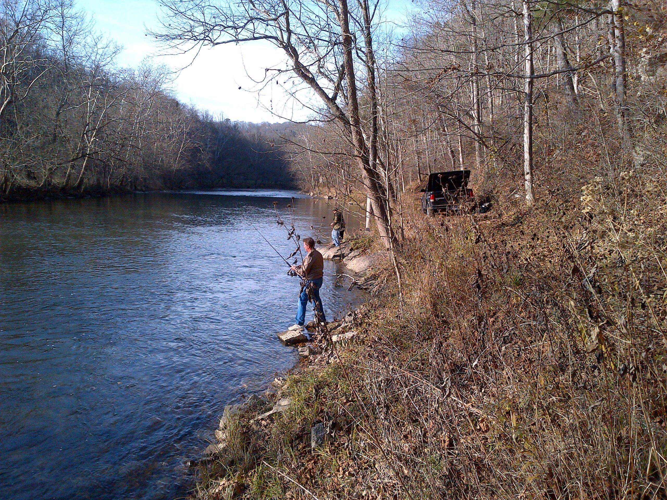
Farmers surrounding the Waddles, including their neighbor, had been protecting land with easements for years through the Virginia Outdoors Foundation. Interest in the program stemmed in part from farms along the Holston River being chopped up and developed as getaway homes. There was also talk of a hydroelectric power plant being built on the river, which passes through the Waddles’ farm for more than two miles.

Concerned that the “suits and ties,” as Shelley calls them, would come knocking soon, she and Jeff got in touch with VOF’s Neal Kilgore in Abingdon to start the easement process. They finalized the easement in 2013 and have never looked back.

“By preventing the land along the river from being over-developed, and through riparian buffers in the easement that keep the cattle out, we’re helping to keep the river clean for recreation, drinking water, swimming, wildlife, and other things that benefit the public,” says Kilgore. “For landowners who are more interested in farming than making a quick buck selling to developers, it’s a win-win program because there are substantial federal and state tax benefits to donating an easement.”

Kilgore says that the way the Waddles heard about easements, through their neighbor, is common in rural communities. He is often approached by farmers who live next to easement-protected land, or who have family members who have worked with VOF before. Many have heard about the state tax credits for donating easements, which can be sold for cash. These credits have played a major role in easements being a viable tool for working farmers who are mindful of the bottom line.

“When you farm, you’re gambling,” says Shelley. “You can’t control the market, the pricing, the weather.” Tax credits, she explains, allow farmers to do the right thing without jeopardizing their finances.

“People should think about the small percentage of people farming and how it’s a dying breed,” she adds. “Our community was called Rich Valley because the climate is good, the soil is good, and farming was what you did. Over the years, we’ve seen farmers go out of business and it’s sad.”

Tax incentives may help offset the costs of giving up development rights, but Shelley is quick to point out that you must want to protect your land for reasons other than money.

“I’m standing on my front porch now looking down the valley and it’s beautiful,” she says. “It’s a beautiful place to live and sometimes you take that for granted. The easement will allow us and our future to be preserved. We have two boys who eat, live, and breathe farming. I think about them.”

VOF defers decision on MVP conversion application, supports FERC recommendation on access road

Update (7/26/2017): On July, 21 2017 MVP, LLC submitted an appeal to FERC on condition #16 of the FEIS, which would have required MVP, LLC to avoid the access road MVP-RO-279.01 on the VOF easement referenced below. VOF staff will continue to work with our Board of Trustees on the appropriate next steps.

At its June 22 meeting, the VOF board of trustees voted to defer a decision on an application from Mountain Valley Pipeline to convert approximately 0.6 acres of land under open space easement in Roanoke County for a permanent access road.

The following day, the Federal Energy Regulatory Commission (FERC) issued the Final Environmental Impact Statement for the pipeline project and — citing letters from VOF and the landowner, Grace Terry — recommended against the access road, stating that “while Mountain Valley provided some of the information requested in our January 26, 2017 EIR, Mountain Valley did not provide adequate information to justify use of the access road. Based on the information provided, we determined that the apparent impacts of widening the access road outweigh the demonstrated need.”

FERC advised Mountain Valley Pipeline to file a segment-specific construction and operation access plan for the area that does not include the access road.

Prior to FERC’s announcement, the VOF board had set a date of July 24 to take further action on MVP’s conversion application, but that meeting may be canceled if MVP does not appeal FERC’s recommendation.

VOF has submitted a letter to FERC supporting the recommendation against the permanent access road. The letter also clarifies an error in the final EIS pertaining to another VOF easement property. Download the letter here.

“We will continue to monitor the situation closely and remain ready to take action if FERC’s position changes before the issuance of a final certificate of public need,” said VOF’s deputy director of stewardship, Martha Little.

VOF defers decision on MVP conversion, supports FERC recommendation on access road

At its June 22 meeting, the VOF board of trustees voted to defer a decision on an application from Mountain Valley Pipeline to convert approximately 0.6 acres of land under open space easement in Roanoke County for a permanent access road.

The following day, the Federal Energy Regulatory Commission (FERC) issued the Final Environmental Impact Statement for the pipeline project and — citing letters from VOF and the landowner, Grace Terry — recommended against the access road, stating that “while Mountain Valley provided some of the information requested in our January 26, 2017 EIR, Mountain Valley did not provide adequate information to justify use of the access road. Based on the information provided, we determined that the apparent impacts of widening the access road outweigh the demonstrated need.”

FERC advised Mountain Valley Pipeline to file a segment-specific construction and operation access plan for the area that does not include the access road.

Prior to FERC’s announcement, the VOF board had set a date of July 24 to take further action on MVP’s conversion application, but that meeting may be cancelled if MVP does not appeal FERC’s recommendation.

VOF has submitted a letter to FERC supporting the recommendation against the permanent access road. The letter also clarifies an error in the final EIS pertaining to another VOF easement property. Download the letter here.

“We will continue to monitor the situation closely and remain ready to take action if FERC’s position changes before the issuance of a final certificate of public need,” said VOF’s deputy director of stewardship, Martha Little.

Mountain Valley Pipeline applies for conversion on Roanoke County easement

The developer of a proposed 42-inch natural gas pipeline in southwestern Virginia has applied for conversion of 0.62 acres on a 590-acre open-space easement held by the Virginia Outdoors Foundation along the border of Roanoke and Montgomery counties.
 
The application, submitted by Mountain Valley Pipeline (MVP) in June and available for download here, will be considered by the VOF board of trustees at its next meeting in Fredericksburg on June 22, 2017.
 
MVP is not seeking to cross the easement with the pipeline; rather, it seeks to maintain a permanent access road on the property. The pipeline itself is proposed to cross a neighboring property.
 
VOF learned about the permanent access road during the draft Environmental Impact Statement process under the Federal Energy Regulatory Commission (FERC). The foundation notified both MVP and FERC in March that the request would trigger the conversion process described in section 1704 of the Virginia Open Space Land Act.
 
As part of this process, MVP is required to propose substitute land of greater conservation value than the open space being affected. The company is proposing a 10.25-acre parcel next to the 952-acre Poor Mountain Natural Area Preserve, which is owned and managed by the Virginia Department of Conservation and Recreation and protects the world’s largest known population of a globally rare shrub.
 
VOF’s trustees will, on June 22, consider whether the application meets the requirements of the Virginia Open Space Land Act, which says, “No open-space land, the title to or interest or right in which has been acquired under this chapter and which has been designated as open-space land under the authority of this chapter, shall be converted or diverted from open-space land use unless (i) the conversion or diversion is determined by the public body to be (a) essential to the orderly development and growth of the locality and (b) in accordance with the official comprehensive plan for the locality in effect at the time of conversion or diversion and (ii) there is substituted other real property which is (a) of at least equal fair market value, (b) of greater value as permanent open-space land than the land converted or diverted and (c) of as nearly as feasible equivalent usefulness and location for use as permanent open-space land as is the land converted or diverted.”
 
Anyone who wishes to weigh in on the 1704 application may submit their comments through our online form or email them to comments@vofonline.org. There will also be a public comment period at the June 22 meeting.

Pulaski County easement will provide key linkages in New River Valley greenway

Hazel Hollow in Pulaski County is an 11-acre strip of green space that hugs the northern bank of the New River just across from the City of Radford. Its potential for development as residential riverfront property is obvious and might have been inevitable. Instead, thanks to the wishes of a VOF easement donor, the vision of county planners and administrators, and funding from both the Virginia Land Conservation Fund and the VOF-administered Preservation Trust Fund (PTF), the property will soon become a part of a greenway that provides breathing space to a rapidly developing area, connecting it to the fishing, boating and wildlife viewing possibilities on the banks of the river, and linking a series of existing trails across the region.

A key component of the project, located just down river from Hazel Hollow, is the 100-acre Smith Farm, gifted to VOF in 2012. Margaret Smith’s dream was to preserve the farm as open space for a public park. “Her donation sparked the project, really,” says Jared Linkous, county engineer. “Thanks to her, we have the beginning of a county park presence.” Trails on Smith Farm are slated for a fall 2017 ground-breaking and will extend to Hazel Hollow through the county’s acquisition of a small parcel between the two properties. An old elementary school site to the north will provide trailhead parking and playing fields for outdoor sports.

The greenway features a rich mix of recreational, historic and natural resources. Eagle and waterfowl habitat along the river contributes to the Virginia Birding and Wildlife Trail. The Bike 76 Trail meets up with Hazel Hollow on the greenway’s northern edge. This bike route is included in the master plan for the Beaches to Bluegrass Trail, a statewide multi-use route that aims to link existing routes across communities from the Virginia Beach oceanfront to Cumberland Gap on the border with Tennessee. To the west is a railroad bridge included on Virginia’s Civil War Trail. Damage from cannons fired by Union troops is still visible on the piers that support it. Next to it, a proposed pedestrian bridge would span the river, linking to the Bisset Park trail and the Riverway Greenway in the City of Radford and potentially extending the Beaches to Bluegrass Trail along one of its proposed routes. Bisset Park further links to Wildwood Park, another VOF easement in the city.

Despite its small size, the Hazel Hollow parcel will play an outsized role in implementing the greenway and increasing outdoor opportunities for people in the New River Valley. Playing fields? Check. Hiking and biking trails? Check. Places to launch a kayak, canoe or tube? Check. Chances to view wildlife or experience historic sites? Check. And it is all part of a larger network of regional trails that could eventually span the state from east to west. Hazel Hollow may be just 11 acres, but for this section of the New River it makes all the difference.

Explore VOF’s conserved lands online with interactive Map Room

The Virginia Outdoors Foundation is excited to announce a new Map Room feature available through our website. The Map Room, which is hosted by ESRI at http://vof.maps.arcgis.com, functions as a central portal for online maps and GIS data, and is intended to further the public’s appreciation of where we work, provide easy access to our spatial data, and reduce VOF staff time spent making custom maps and fulfilling data requests.

The map room currently contains:

  • VOF Conserved Lands: An interactive web map of our easements, reserves and Special Project Areas
  • VOF GIS Data Download: Our open data portal which allows anyone to download our Easement, Reserves and Special Project Area boundaries in a variety of formats. Live versions of these data can also be used directly in ArcGIS or other software as a feature service.
  • VOF Special Project Areas: A story map highlighting the location, sponsor and rationale behind our designated zones of special consideration.
  • VOF Staff Locator: A map-based tool for finding the appropriate field staff for every locality in Virginia.


While several of these mapping resources are integrated in other areas of our website, it is beneficial to have all our mapping web applications available in a single place. More content, include story maps to demonstrate the variety of conservation values protected by VOF, will be added in the near future. Check back often.

VOF notifies Mountain Valley Pipeline, FERC that maintenance road would trigger conversion process on Roanoke County easement

The Virginia Outdoors Foundation (VOF) has notified the developers of the Mountain Valley Pipeline (MVP), as well as the Federal Energy Regulatory Commission (FERC), that a proposed maintenance road for the pipeline on a VOF easement in Roanoke County would be inconsistent with the terms of the easement, and would therefore need to seek conversion under state law if the project is approved by FERC.
 
VOF expressed its position in a [wpfilebase tag=fileurl id=422 linktext=’March 28 letter to FERC’ /], and also asked FERC to postpone publication of the final Environmental Impact Statement (EIS) so that it could have more time to work with MVP on the matter. FERC announced a revised schedule for the EIS process on March 31. The final Environmental Impact Statement is now slated to be available on June 23, and the 90-day federal authorization decision deadline is set for September 21.
 
VOF learned early in the process that MVP would need to upgrade an existing forest road for construction on the Roanoke County easement, but was initially told the need would be temporary and therefore not in violation of the easement. Plans changed in late 2016, however, and VOF learned that the request would now be for a permanent access road. Because the easement only permits new roads that serve the property, constructing or significantly improving a forest road to an industrialscale road for offsite purposes would constitute an inconsistent use and therefore be subject to state law that requires the conservation values and public interest to remain protected through a process known as “conversion,” which is described in section 1704 of the Virginia Open Space Land Act.
 
Under conversion, the easement would not be extinguished. Rather, MVP would place a right-of-way over the easement allowing the company to use the road. Right-of-way siting for maintenance roads and the pipeline itself are under the authority of FERC. As part of the conversion application process, MVP would need to propose substitute land that has greater conservation value than what is being affected by the incursion.
 
The Mountain Valley Pipeline itself would not cross the easement. MVP initially proposed to cross two VOF easements with the 42-inch pipeline, but after working with the developer and FERC the route was changed to avoid these open-space easements. 
 
We have been pleased with MVP‘s efforts to avoid easements, and we are confident that we can work through this latest issue to ensure that the public’s interest is protected to the greatest degree possible,” says Martha Little, VOF’s deputy director of stewardship.

VOF files pipeline-related staff reports with FERC

The Virginia Outdoors Foundation recently submitted staff reports to the Federal Energy Regulatory Commission (FERC) detailing the potential impacts to 10 VOF conservation easements if FERC approves the current route of the proposed Atlantic Coast Pipeline.

The reports were produced in response to applications filed by Dominion, the pipeline’s lead developer, which is seeking “conversion” of open space on the easements through a process outlined in section 10.1-1704 of Virginia’s Open Space Land Act.

Dominion presented its conversion applications to VOF’s board of trustees on February 9 at a public meeting in Richmond. The company says that the ACP project satisfies all the requirements of section 1704. VOF trustees heard from dozens of speakers at the meeting who spoke both in favor and against the proposed conversions. Trustees deferred a decision on the applications to allow more time to consider the information that was presented to them.

The board did, however, direct VOF staff to submit the staff reports to FERC “to ensure that FERC has the benefit of the staff’s conclusions and findings.”

Copies of the staff reports, Dominion’s applications, public comments, and other background material from the February 9 board meeting can be found here.

In the [wpfilebase tag=fileurl id=408 linktext=’cover letter’ /] that accompanied the package to FERC, VOF Executive Director Brett Glymph wrote, “VOF has consistently taken the position that construction, maintenance and operation of the interstate gas transmission line is inconsistent with the open-space protections afforded by the subject easements.” Glymph also took issue with characterization in the draft Environmental Impact Statement issued by FERC in December that such conversions would be “minor.” “The impact is very significant,” she stated.

The cover letter ended by asking FERC to include staff recommendations found in the reports as part of any final Environmental Impact Statement or Certificate of Public Convenience and Necessity that may be issued.

In conjunction with submitting the staff reports to FERC, VOF Chair Stephanie Ridder sent a [wpfilebase tag=fileurl id=409 linktext=’letter to all VOF easement owners’ /] describing the situation with ACP, the conversion/diversion process, and expressing confidence in VOF’s ability to protect the public interest.

“VOF was established by the Commonwealth to protect the public’s interests, and we take our commitment to the public very seriously,” she wrote. “We strive to balance competing interests between conservation and development. The Open Space Land Act is the strongest in the nation, but the law is clear that there may be instances where land may be utilized for essential public projects. Because FERC has the ultimate authority in determining the necessity and siting of interstate pipelines, VOF’s own power is limited. However, we pledge to use the power that we do have to get the best possible outcome for the Commonwealth.”

Protecting the Clinch River Valley

Neal Kilgore remembers the fish kill on the Clinch River well. “I was about 10 years old. My friend and I would go fishing in the river often; but one day, all of a sudden, fish started coming up to the surface, struggling like they were trying to breathe. We had no idea what was going on. We just jumped in the river and started grabbing the biggest fish. We thought we’d hit the jackpot.”

What the boys didn’t know was that there had been a leak of hazardous wastewater from the power plant just upriver that was poisoning the water. “Later, my dad took us for a drive up the river road, and as far as we went, there were dead fish, all the way across and so many deep they could have supported your weight if you tried to walk over them.

“That’s what motivated me to get into environmental protection,” he says. “I could see the need.”

Now an easement specialist in southwestern Virginia for VOF, Kilgore helps landowners living the Clinch River Valley to protect their land from over-development. “People have begun to realize what a special place we have here,” he says. He started working with VOF in 2006. In the decade since, he has increased the amount of land protected by VOF easements in the Clinch-Powell watershed to more than 5,500 acres.

VOF’s work here is one piece of a larger effort. Groups like the Nature Conservancy, the Clinch River Valley Initiative, and the Clinch-Powell Clean Rivers Initiative are helping people and the outdoors to coexist in economically and environmentally compatible ways. The Virginia Department of Conservation and Recreation also offers informational resources to landowners who have caves or sinkholes on their land — features common in the region, which is characterized by karst topography. Karst contains aquifers that can provide large supplies of water, and thousands of Virginians get their clean drinking water from these aquifers.

It will take continued vigilance and concern from local citizens to ensure the Clinch River Valley’s success. While still grappling with agricultural pollution and the environmental impacts from decades of coal mining, the Clinch River Valley has conserved its status as a biodiversity hotspot. In 1990, it was designated one of the Nature Conservancy’s 39 “Last Great Places” for its largely intact ecosystem, which hosts 48 imperiled and vulnerable animal species, including 29 varieties of rare freshwater mussels and 19 species of fish.

“It’s amazing that it’s rebounded the way it has, but the river is a mirror for how you treat the land,” Kilgore adds. “If you don’t manage the land well, then the river can’t survive.”

VOF allocates more than $1.5M to increase open space access in 11 localities

At a meeting in Henrico County on February 9, the Virginia Outdoors Foundation (VOF) board of trustees approved the allocation of more than $1.5 million from its Open Space Lands Preservation Trust Fund to help fund 11 conservation projects that would use open-space easements to increase public access for outdoor recreation and education.

The projects are located in 11 jurisdictions across the state and include three in localities — the cities of Richmond, Charlottesville and Alexandria — where VOF currently does not hold any easements.

“We believe it is vital to provide communities and families with more opportunities to connect with nature,” says VOF board chair Stephanie Ridder. “This was a priority of the Commonwealth when VOF was established in 1966, and it remains a priority today.”

The Preservation Trust Fund (PTF) was created in 1997 to help cover the costs of acquiring open-space easements. Most funding comes from state appropriations and varies by year. In fiscal year 2017 PTF received its largest amount of funding ever at $2 million. The VOF board passed a resolution in June 2016 giving the highest priority for purchased easement projects that provide public access.

A request for proposals in early December resulted in more than 25 inquiries and submissions for this grant round. The proposals were reduced to the final group of 11 based on the four main criteria used in evaluating projects: extent of public access, population served, conservation value, and demonstrated community support and readiness.

The 11 finalists requested a total of $4,329,285 in funds for the $1.5 million available. Staff recommended full funding for five of the projects and reduced funding for the remaining six. The proposal package can be found here.


Summary of approved projects

 
Project Name: Murray-Dick-Fawcett House
Locality: City of Alexandria
Acres: .3
PTF Funding Approved: $350,000

Description: The Murray-Dick-Fawcett House is an 18th-century home and garden, recognized as one of the oldest and most authentic pre-Revolutionary War buildings remaining in the city within the Alexandria Historic District. The City of Alexandria proposes to purchase the property and manage it as a public museum and garden. This site, originally used as a residence and commercial livery, would enable the city to interpret the life and times of ordinary residents during the 18th and 19th centuries. Partners include the City of Alexandria, the Office of Historic Alexandria, the Northern Virginia Conservation Trust, Historic Alexandria Foundation, Historic Alexandria Resources Commission, Alexandria Historical Restoration and Preservation Commission, Virginia Land Conservation Foundation, Department of Historic Resources, and Virginia Outdoors Foundation.


Project Name: Charley Close Property
Locality: City of Charlottesville
Acres: 2.8
PTF Funding Approved: $50,000

Description: This property is located on Moore’s Creek, a tributary of the Rivanna River. The 2.8-acre parcel would be a key link in an existing trail network that connects Hartmann’s Mill, Jordan Park and several communities. The trail completion would provide year-round access to open space and further goals of the city’s Comprehensive Plan for water quality, open space, transportation (walkable and bikeable communities) and economic development. The city plans to build a parking and access area and maintain the trail network through the property. This project is also receiving support from the Virginia Land Conservation Foundation and other local partners.


Project Name: Civil War Preservation Trust / Hansbrough’s Ridge
Locality: Culpeper County
Acres: 174
PTF Funding Approved: $250,000

Description: The Civil War Trust (CWT) proposes the placement of a conservation easement on its Hansbrough’s Ridge property located on Route 3. The property is notable for the presence of intact archaeological sites and features related to the 1863-1864 Union Army winter encampment. The grant will enable CWT to facilitate access to the property and construct amenities such as interpretive trails and signage. The preservation of Hansbrough’s Ridge involves support from the Virginia Department of Historic Resources, the Virginia Department of Conservation and Recreation, the National Park Service’s American Battlefield Protection Program, the Supervisors of Culpeper County, the Brandy Station Foundation and the Friends of Cedar Mountain.


Project Name: Hazel Hollow Tract
Locality: Pulaski County
Acres: 11.925
PTF Funding Approved: $142,500

Description: The Hazel Hollow tract is located on the New River just upstream from the community of Fairlawn. Pulaski County plans to acquire the land for a public park and extend the planned bicycling/walking trail from a nearby former school site, through a property owned by the Virginia Outdoors Foundation called Smith Farm, and along the river onto the property. The property also creates an opportunity to link trails on the north side of the river via a pedestrian bridge on four piers and connect with the City of Radford’s Bisset Park and trails to nearby Wildwood Park, which is also under VOF easement.


Project Name: Eastern Branch Restoration Park
Locality: City of Virginia Beach
Acres: 8.8
PTF Funding Approved: $55,000

Description: This site is made up of wetlands and forest along the Eastern Branch of the Elizabeth River and across the water from Carolanne Park in an otherwise intensely developed area. The project would protect the wetlands and riparian areas, provide a hiking trail along the water, and provide a kayak/canoe launch area for access to the Elizabeth River. The Living River Restoration Trust will work with the city to improve the site facilities and manage the park for public access. Partners include the Living River Restoration Trust, Elizabeth River Project, City of Virginia Beach, Virginia Land Conservation Foundation, and VOF.


Project Name: Richmond Public Schools Outdoor Classroom
Locality: City of Richmond
Acres: 4.8
PTF Funding Approved: $150,000

Description: This project involves developing up to 4.8 acres of city-owned land as an outdoor classroom serving all of the city’s public schools. A longer term goal is for the site to serve as a model for other school systems in the Commonwealth. The site contains a mixture of open space, forest cover and a perennial stream that is part of the Upper Goode Creek watershed. A portion of the site would be utilized as a neighborhood connector with public trails. Core partners of the project include VOF, Richmond City Schools, the Richmond Department of Parks and Recreation, and the Enrichmond Foundation.


Project Name: Carvins Cove Connector
Locality: Roanoke County
Acres: 38.12 acres
PTF Funding Approved: $70,000

Description: The goal of this project is to connect the Roanoke Valley Greenway network to the 12,463-acre Carvins Cove Natural Reserve, a watershed property protecting the Carvins Cove reservoir. The majority of the reserve is protected by an easement co-held by the Virginia Outdoors Foundation and the Blue Ridge Land Conservancy and provides recreational trails to residents of nearby Salem and Roanoke. The project would provide the opportunity for users to bicycle, walk or ride horses to Carvins Cove, thus connecting an urban area to a very rural, natural preserve. Key partners for this project are Pathfinders for Greenways, Inc., Roanoke Valley Greenway Commission, and Roanoke County.


Project Name: Hottel-Keller Memorial, Inc.
Locality: Shenandoah County
Acres: 391.066
PTF Funding Approved: $200,000

Description: This 391-acre property is situated in western Shenandoah County between Woodstock and Strasburg. The historic homestead surrounded by fields and forest adjoins the George Washington National Forest and is owned by Hottel-Keller Memorial, Inc., a non-profit educational organization dedicated to the preservation of the historical and cultural heritage of early Germanic immigrants into the Shenandoah Valley. The grant will enable the organization, run by volunteers from the community, to improve and expand public access to the farm and buildings and create hiking or birding trails.


Project Name: Four Winds / Rappahannock River Access
Locality: Caroline County
Acres: 306 acres
PTF Funding Approved: $80,000

Description: The Trust for Public Land is working with the property owner and VOF to purchase a conservation easement on 306 acres of wetlands and forestland situated on Skinkers Neck, the first big bend in the Rappahannock east of Fredericksburg. The grant will facilitate providing public shoreline access to the Rappahannock River as part of the project. The property is located in a priority area for the Fort A.P. Hill Army Compatible Use Buffer program, which will also partner in this project.


Project Name: Malvern Hill Farm
Locality: Henrico and Charles City counties
Acres: 878
PTF Funding Approved: $100,000

Description: Capital Region Land Conservancy seeks to acquire this historically significant 878-acre property southeast of Richmond. A portion of the property is within the National Parks Service acquisition boundaries and would become part of the Malvern Hill Battlefield interpretive area. The remaining portions of the property are anticipated for public use and would include a public access area with trails and a canoe/kayak launch into Turkey Island Creek. This project involves partnerships with the James River Association and Virginia Department of Historic Resources, as well as grants from the Virginia Land Conservation Foundation and numerous private foundations.


Project Name: Belmead on the James
Locality: Powhatan County
Acres: 2,265
PTF Funding Approved: $100,000

Description: Belmead on the James, just west of Richmond, is one of the Commonwealth’s most historic properties with 2,265 acres, historic buildings, and 2.8 miles of frontage on the James River. 1,000 acres are currently protected by a conservation easement held jointly by the Virginia Outdoors Foundation and the James River Association. The nonprofit Belmead on the James, Inc. (BOJI) is working to acquire the property with the intention of preserving it and making it accessible to the public. Additionally, a partnership with Powhatan State Park and Powhatan County is expected to provide river access accommodating paddlers between the state park and Belmead.